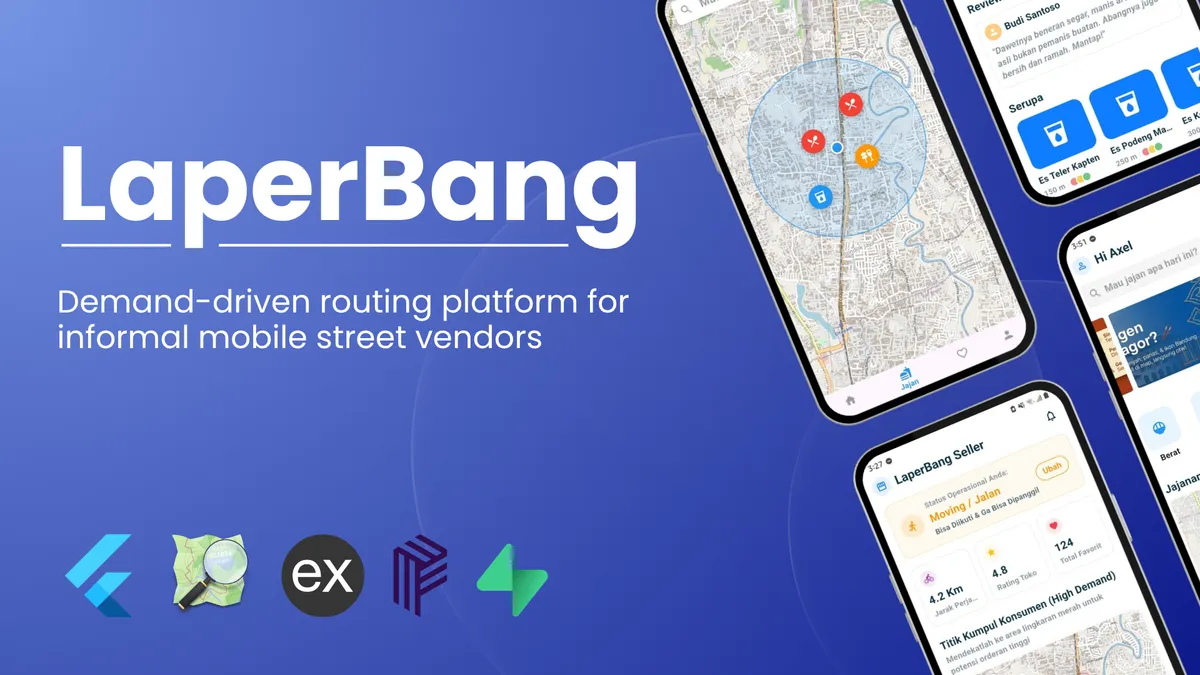
LaperBang
A demand-driven routing platform designed to help mobile street food vendors and consumers connect in real-time using geospatial clustering and smart demand aggregation.
Topics
Stack
You can see a whole article talking about the detailed architecture of LaperBang HERE, but I will focus more on general brief in this section.
LaperBang Overview
LaperBang is a location-based food discovery and vendor calling platform.
The main idea is simple:
What if customers could tell nearby food vendors what they are craving, and vendors could move closer to real customer demand?
Unlike a normal food delivery application, LaperBang does not focus on delivering food from a restaurant to a customer.
Instead, LaperBang focuses on connecting:
- Customers who have a food craving.
- Mobile food vendors who are looking for potential customers.
- Real-time location data between both sides.
The Problem
Many mobile food vendors operate based on assumptions:
- They choose a location randomly.
- They do not know where customers actually need them.
- Customers often cannot find nearby vendors when they want specific food.
Example:
A customer wants:
“I want iced coffee, but I don’t know where the nearest vendor is.”
At the same time:
A coffee vendor is moving around but does not know where potential customers are.
LaperBang tries to solve this by creating a demand-driven system.
Core Concept
The application has two main actors:
Customer
The customer can:
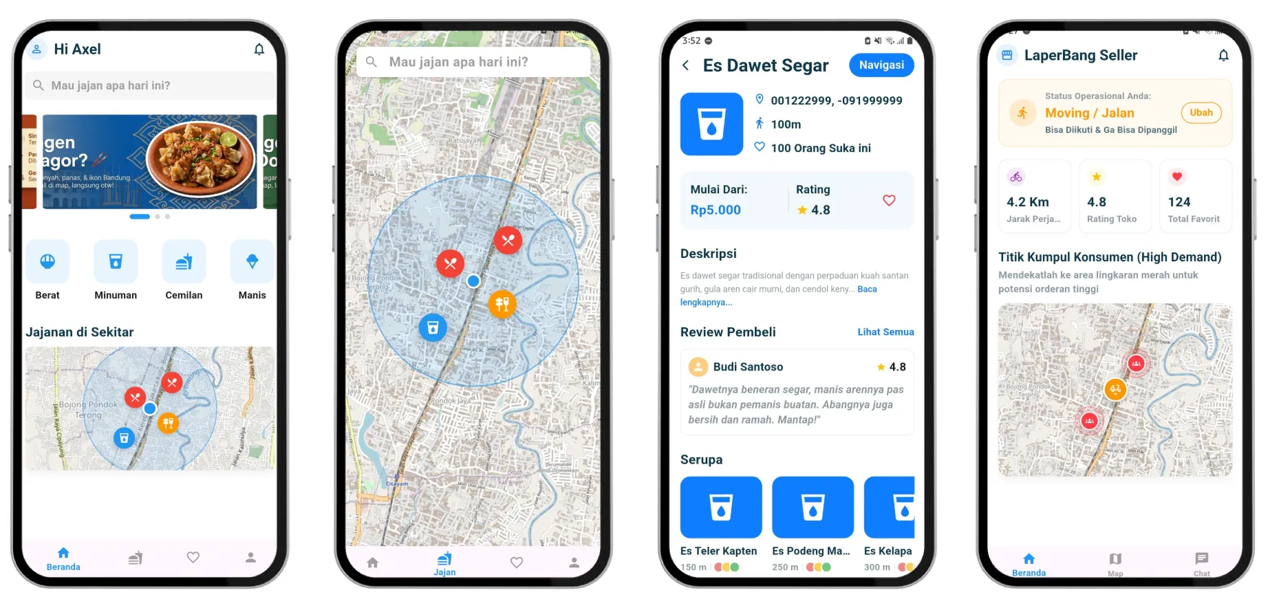
- Discover nearby vendors.
- View vendor information.
- Follow vendors for realtime tracking.
- Send a request when they want a specific food.
- Create a demand hotspot through clustering.
Vendor
The vendor can:
- Set their availability status.
- Share their current location.
- Receive customer demand requests.
- Accept or reject generated clusters.
- Move towards areas with higher demand.
How LaperBang Works
The main flow:
- Customer opens the application.
- Backend finds nearby available vendors.
- Customer can follow or call a selected vendor.
- Customer requests a specific craving.
- Multiple nearby requests are grouped using DBSCAN clustering.
- Backend assigns the cluster to a suitable vendor.
- Vendor decides whether to accept or reject.
- Customer receives realtime updates from the vendor location.
Why DBSCAN?
Traditional clustering methods like K-Means require knowing the number of clusters beforehand.
However, customer demand is unpredictable.
A customer hotspot can appear anywhere and anytime.
DBSCAN fits better because it can detect:
- Dense areas of requests.
- Minimum number of customers required.
- Maximum distance between requests.
Example:
If several customers request food within a 10 meter radius, the system considers it a potential demand area.
Responsibilities
- Designed the overall system architecture and real-time demand flow
- Planned geospatial clustering implementation using DBSCAN
- Structured backend communication and notification workflows
- Designed mobile-first user interaction concepts
- Planned integration between:
- Spatial database systems
- Real-time notifications
- Vendor matching logic
- Geospatial visualization systems
Impact
LaperBang explores how geospatial intelligence and demand aggregation systems can improve informal urban food distribution ecosystems.
Potential benefits include:
- Faster discovery of mobile food vendors
- More efficient vendor movement and fuel usage
- Reduced idle roaming for vendors
- Improved consumer convenience
- Better utilization of real-time urban demand data
Key Takeaways
This project strengthened experience in:
- Real-time system architecture
- Geospatial clustering algorithms
- Spatial databases with PostGIS
- Mobile-first platform design
- Event-driven backend workflows
- Designing scalable demand aggregation systems