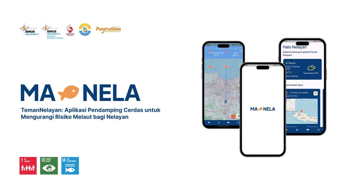
TemanNelayan (Manela)
A satellite-data-driven fisheries platform developed for GEMASTIK XVIII to help fishermen identify potential fishing zones and fish types using oceanographic analysis and AI-assisted insights.
Topics
Stack
DISCLAIMER: You can see a whole article talking about the competition HERE, but I will focus on technical side here.
Overview
TemanNelayan (Manela) is a GEMASTIK XVIII project developed collaboratively with Alwan Athallah Mumtaz, achieving 4th place in the competition.
The platform helps fishermen identify potential fishing zones and probable fish species using satellite-derived oceanographic data, analytical processing, and AI-assisted recommendations.
Responsibilities
- Conducted collaborative research on methodologies for predicting fish locations and species based on oceanographic indicators.
- Collected, processed, and analyzed::
- Sea Surface Temperature (SST)
- Chlorophyll-a (CHL-A)
- Bathymetry data
- Fish Zone Prediction
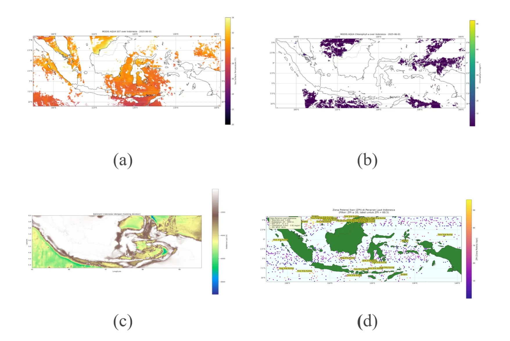
- Utilized Google Earth Engine for large-scale satellite data acquisition.
- Processed and structured datasets using Python for analytical workflows.
- Built backend services using Node.js and Express.js.
- Designed and implemented offline-first system strategies.
- Implemented partial rendering techniques to improve usability on low-end devices.
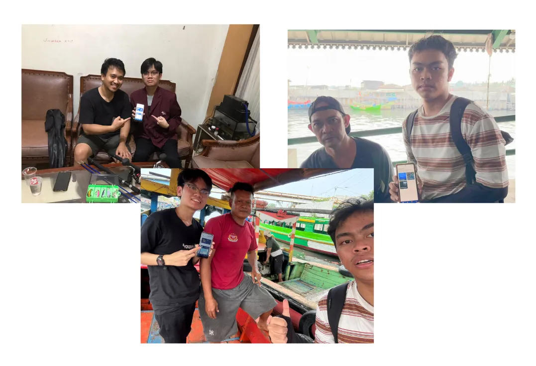
- Participated in field testing and validation directly with fishermen.
Tech Stack
- Flutter
- Node.js
- Express.js
- Python
- Google Earth Engine
App User Interface
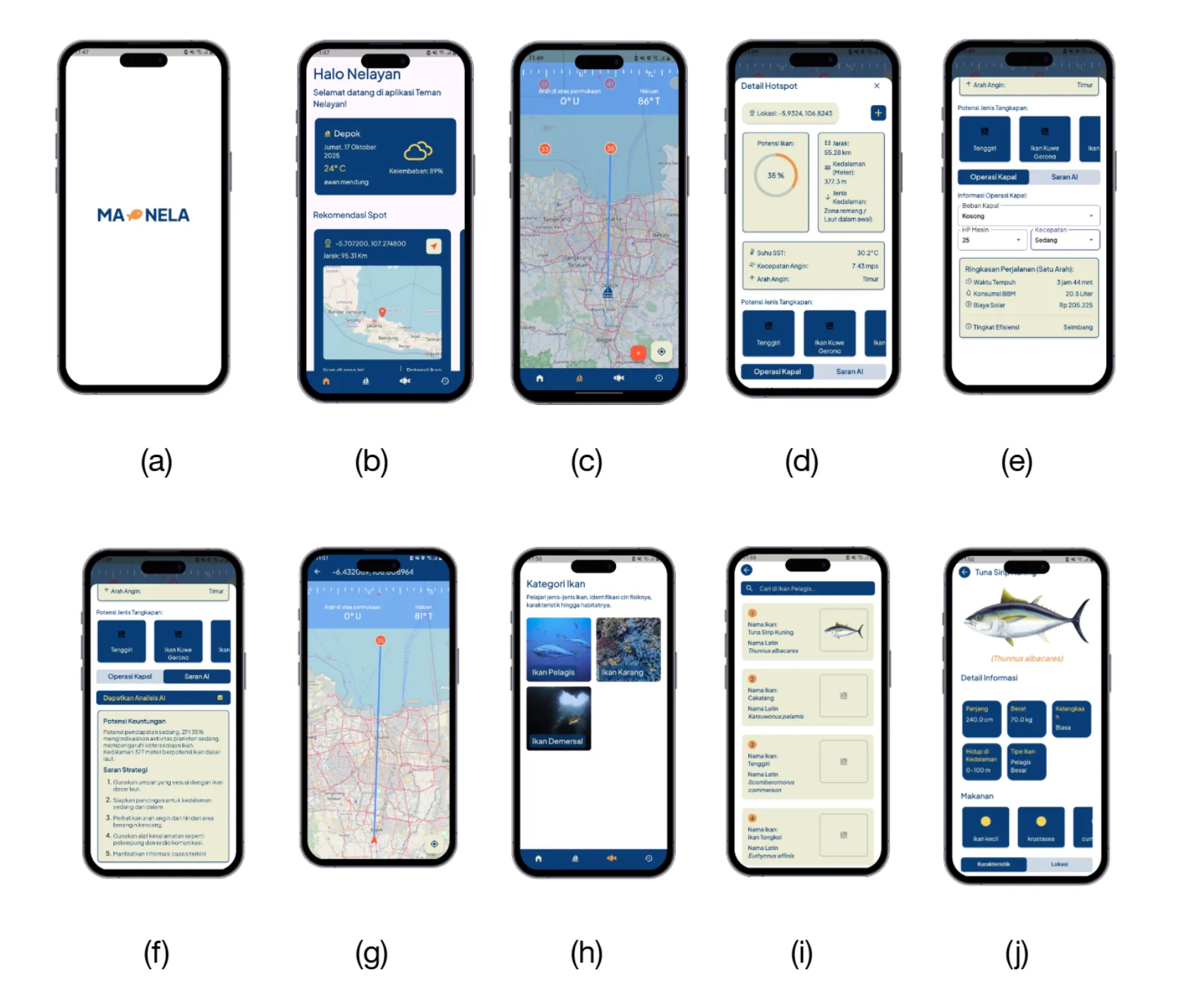
- Loading Screen
- Home Screen (Weather condition and closest fishing spot)
- Fishing Zone Prediction Map
- Zone Detail (Zone prediction, distance, sea depth, temperature, wind speed and direction)
- Zone Detail (Fish type probability, Ship fuel calculation)
- Zone Detail (AI Recommendation)
- Map
- Fish Category Library
- Fish Library
- Fish Information
Impact
The project demonstrated how satellite data and lightweight AI-assisted systems could support practical fisheries decision-making in real-world maritime conditions.
Key outcomes included:
- Supporting fishermen with accessible fishing zone insights
- Enabling usability in low-connectivity environments
- Optimizing performance for lower-end mobile devices
- Achieved approximately 80% validation accuracy during field testing for core predictions and functionalities
- Securing 4th place at GEMASTIK XVIII 2025
What I Learn From this Project
This project strengthened experience in:
- Satellite and oceanographic data processing
- Studying fish habitat prediction using oceanographic data
- Offline-first system architecture
- Backend engineering for analytical platforms
- Real-world field validation and user testing
- Building technology solutions for underserved operational environments